
Challenge
Petabytes of imagery, a water-cooled hall and customers in climate adaptation.
Solution
768 H200s on N-01 next to a 6 PB object store, fed directly from ground stations.
Result
Zero cooling water, flood maps in six hours instead of thirty.
A climate company with a water problem
Orbit Labs builds flood and sea-ice models from radar and optical satellite imagery. Their customers are insurers, port authorities and national weather services across the Nordics.
Their previous provider cooled its halls with evaporative towers. When a customer asked how much water went into a single flood forecast, the honest answer was uncomfortable.
“The question came from a hydrologist. We wanted a better answer than a footnote.”
Imagery in, maps out
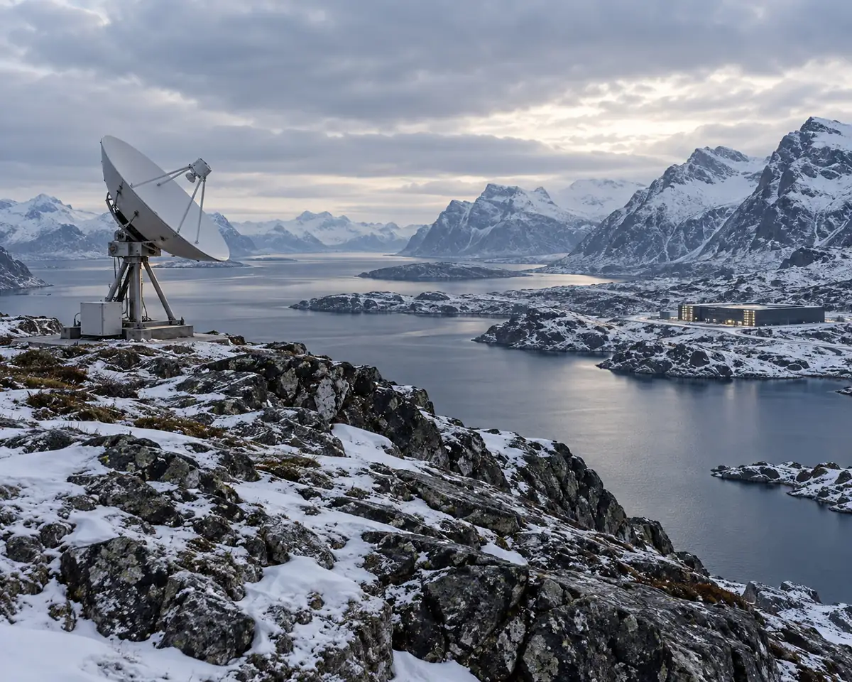
Orbit Labs moved its vision pipeline to 768 H200s on N-01, with a 6 PB object store in the same hall. Imagery arrives over a direct link from the ground stations at Tromsø and Svalbard, so raw data never crosses a public cloud.
The pipeline in Hall A
Ingest and tiling on CPU nodes next to the storage.
Segmentation and change detection on the GPU pod.
Forecast models that run every six hours during flood season.
What changed
Flood maps now reach customers six hours after a satellite pass, down from thirty. The hall uses no water for cooling, and every kilowatt-hour is traced to Nordic hydro, which Orbit Labs now reports to its own customers alongside each forecast.
